Britglyph
ShoZu · 2008–2009
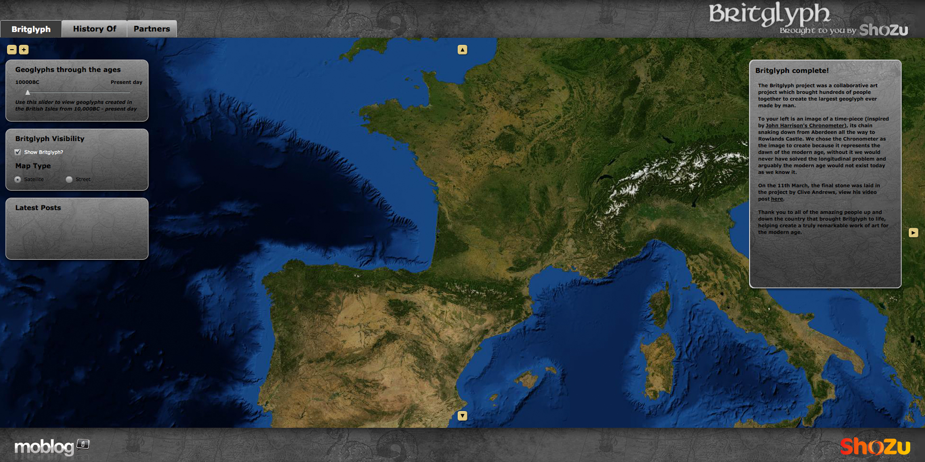
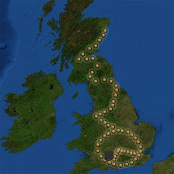
Britglyph was a collaborative locative art project that turned the map of Great Britain into a canvas. Participants travelled to specific GPS coordinates stretching from Aberdeen to Southampton, placed a rock carried from near their home, and uploaded a photograph to the project website. As contributions accumulated, the placements traced the outline of a giant watch and chain across the country.
The rocks were real, sitting at real coordinates — but the image they formed could only be seen through a digital map. This made Britglyph a quasi-geoglyph: a drawing on the earth’s surface that existed physically but required digital mediation to perceive. The abstraction was deliberate, mirroring the assumed purpose of prehistoric geoglyphs like the Nazca Lines, where the creators are thought to have been marking the landscape at a scale only visible from above — perhaps for sky gods who could see what they could not.
The design itself was inspired by John Harrison’s marine chronometer H5, the instrument that solved the longitude problem in the 18th century — a fitting reference for a project built on coordinate precision.
The project won a Webby Award for Experimental & Innovation at the 13th Annual Webby Awards (2009) and was covered by Bill Thompson at BBC Technology and Bruce Sterling at Wired. It is listed on Wikipedia’s page for notable geoglyphs alongside the Nazca Lines and other ancient examples.